This store requires javascript to be enabled for some features to work correctly.
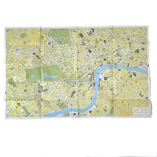
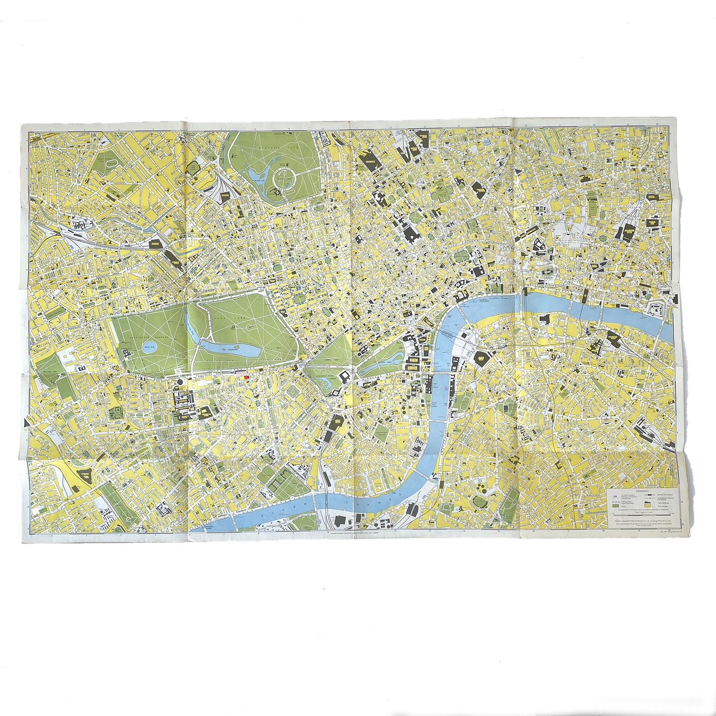
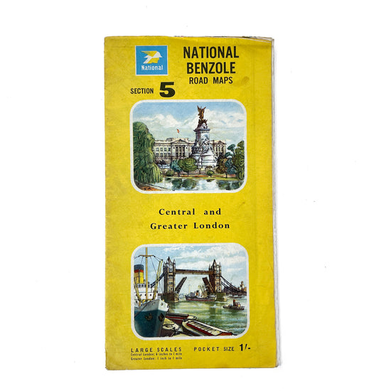
1959 paper road map of Central and Greater London, printed on both sides. Fair condition.
Shipped folded.
Width: 91cm x Height: 58.5cm